Ngunakimbi Village
Brief Historical Profile
The origin of Ngunakimbi traces back to Pa Banghi Nendum, son of Pa Tem from the Kong family, who migrated from Ndamcum and initially settled in Chiakan. After Pa Banghi’s passing, his son, Pa Wanghu, established himself in the land, originally known as Yakubianghami. Notably, Kimbi, another forefather from the same lineage, settled in the area as a farmer. Visitors referred to the land as “the farm of Kimbi,” leading to the name “Ngunakimbi.” The presence of the river Kimbi, flowing through the village, further aligns with this name.
Pa Wanghu, representing the Kong family, became the first Quarter Head, succeeded by leaders like Pa Javonga from Kun and Pa Legha from Takum, who served as a councillor. These ancestors governed in unity up to Kichowi’s independence, shaping the present generation.
Ngunakimbi is surrounded by natural boundaries, such as the cave on the way to Mulung, the Kitakun hill separating it from Kichako, and the Stong marking the border with Nkor. Sub-quarters like ELee, Tokiti, Nkweh, Kichichim, Mbanida, and Ngunakimbi town itself contribute to the village’s structure.
The community prioritized the establishment of the church and the primary school, following the creation of the first Baptist Church at Songka. The primary school, initially located at Kichichim for accessibility between Ngunakimbi and Kichowi, later shifted to Su-Bum before finally settling in Ngunakimbi.
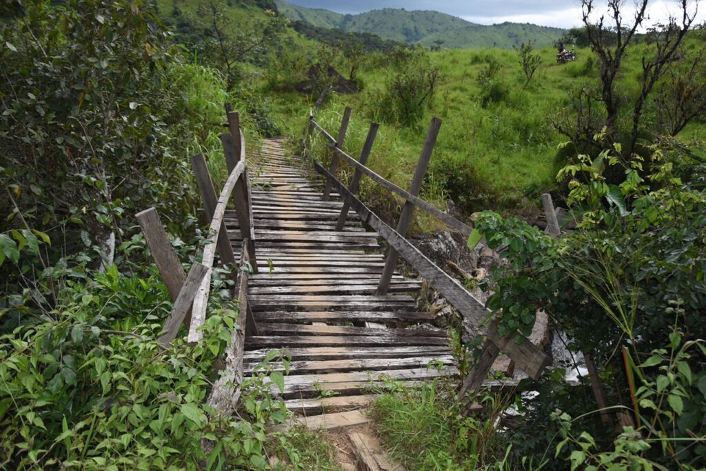
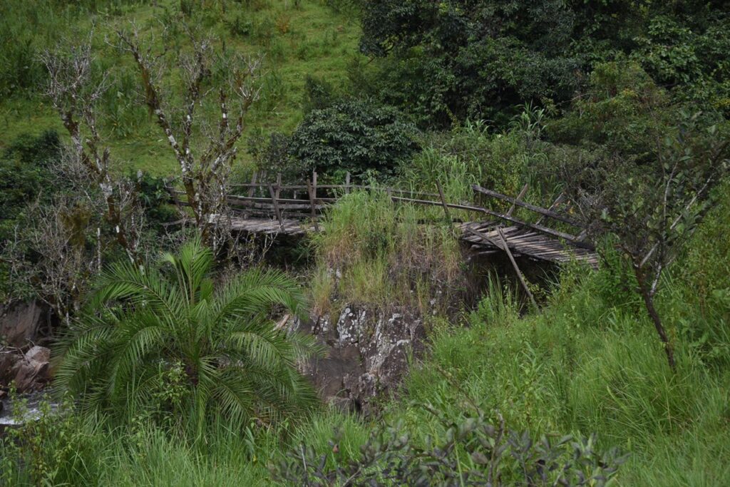
Despite its rich history, Ngunakimbi faces development challenges, including inadequate infrastructure like roads, schools, bridges, hospitals, and electricity, along with security concerns. The village’s population of 4020 inhabitants comprises natives, Fulanis, and individuals from neighboring villages. Ngunakimbi experiences difficulties in transportation due to footpaths and numerous streams and rivers along routes to Fonfuka, Kichowi-Bamti, and Misaje. Additionally, the village lacks certain government facilities, relying on natural resources for sustenance.
The village’s vegetation consists of lowlands surrounded by hills like Nelongtu and Kita-kun, featuring small forests and tall grass. The climate is typically hot, conducive for crops like maize, beans, cassava, groundnuts, as well as fruit-bearing trees like palms, plantains, mangoes, and pears.